Running
Relay
45 km
Running
Relay
45 km
Running
Solo
45 km
Trail
20.5-mile
33 km
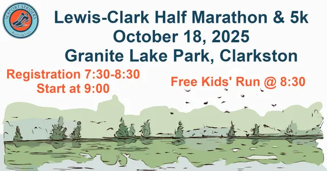
Start: 08:00 AM
130.00 EUR
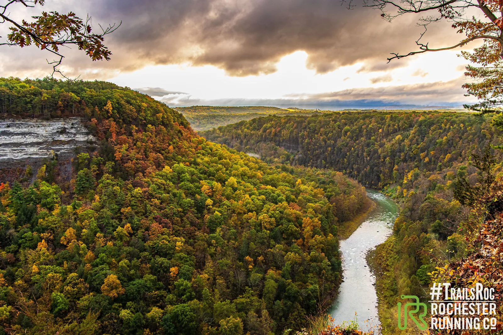
Many Lite is a scenic trail race hosted by TrailsRoc in Letchworth State Park, featuring about 20.5 miles of waterfalls, overlooks, and fall foliage with roughly 6,000 feet of elevation gain and two aid stations.
Aid stations offer pretzels, chips, pickles, Swedish fish, electrolyte drinks, energy gels, water, and watermelon. PB&J and watermelon provided at Lower Falls aid station.
Race pacers will be present with pacergroups posted at the Race Day Details and at the start. Follow pacer time windows published on the event site; pacer flags will be used on course.
Monthly averages based on historical data (2000–present).
The course is approximately 20.5 miles (33 km), with about 6,000 feet of elevation gain.
No pacers are allowed; this is a self-supported race. Race pacers will be present with pacergroups and time windows are published on race day.
Full refund until June 1st if a waitlist entrant is available; no refunds after June 1st. Transfers are not allowed. Exceptions for pregnancy (2-year defer) and active military.
Carry at least 20 ounces of water, a map, and be self-sufficient between aid stations. Gaiters and traction devices are recommended for trail conditions.
Shuttle leaves the finish at High Banks at 6:45 AM sharp; there is no shuttle back to the start.
Last updated: Jun 6, 2026, 12:24:48 AM
We'll email you when races match your filters. No spam — only what fits your goals.
On your marks
Loading race details…