Running
V2V Coastal Full Course
68 km

Running
V2V Coastal Full Course
68 km
Running
Leg 9 - Liberty Square Parking Lot to Joe Gawrych Baseball Complex
8.6 km
Running
Leg 3 - Summerville Prep to Roper St. Francis
7.8 km
Running
Leg 9 - Bar Smith to Mount Pleasant
7 km
Start: Oct 19, 09:00 AM
Running
Leg 8 - Edmund's Oast Brewing to Liberty Square Parking Lot
7 km
Running
Leg 6 - Hanahan Rec to Coast Brewing
6.9 km
Running
Leg 10 - Joe Gawrych Baseball Complex to Sunrise Church
6.6 km
Running
Leg 11 - Ferry Farm to Huger Point
6.5 km
Start: Oct 19, 10:00 AM
Running
Leg 8 - Edmund's Oast Brewing to Bar Smith
6.3 km
Start: 08:30 AM
Running
Leg 4 - Roper St. Francis to Green Charter Lowcountry
6 km
Start: Oct 19, 06:30 AM
Running
Leg 1 - Nexton Elementary to Gahagan Park
5.8 km
Running
Leg 10 - Mount Pleasant to Ferry Farm
5.7 km
Start: Oct 19, 09:30 AM
Running
Leg 5 - Green Charter Lowcountry to Hanahan Rec
5.5 km
Start: Oct 19, 07:00 AM
Running
Leg 2 - Gahagan Park to Summerville Prep
5.4 km
Running
Leg 12 - Huger Point to Finish at Lawn at Ferry Wharf
5.3 km
Start: Oct 19, 10:30 AM
Running
Leg 7 - Coast Brewing to Edmund's Oast Brewing
5.2 km
Start: 08:00 AM
Running
Leg 1 - Nexton Elementary to Gahagan Park
5 km
Start: Oct 19, 05:00 AM
Running
Leg 6 - Hanahan Rec to Coast Brewing
4.8 km
Start: Oct 19, 07:30 AM
Running
Leg 11 - Sunrise Church to Duffy Baseball Complex
4.6 km
Running
Leg 7 - Coast Brewing to Edmund's Oast Brewing
4.5 km
Running
Leg 3 - Summerville Prep to Roper St. Francis
4.2 km
Start: Oct 19, 06:00 AM
Running
Leg 4 - Roper St. Francis to Green Charter Lowcountry
4 km
Running
Leg 2 - Gahagan Park to Summerville Prep
3.5 km
Start: Oct 19, 05:30 AM
Running
Leg 12 - Duffy Baseball Complex to The Lawn at Ferry Wharf
3.3 km
Running
Leg 5 - Green Charter Lowcountry to Hanahan Rec
3.3 km
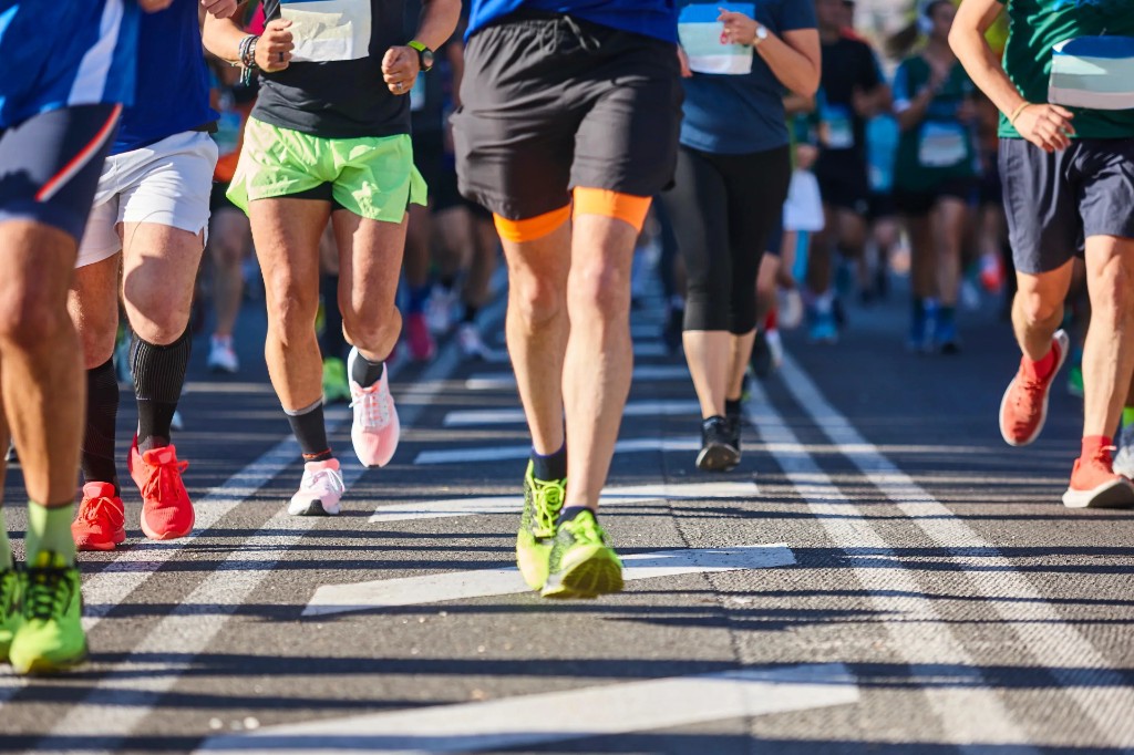
A one-day team running relay on the South Carolina Lowcountry, spanning roughly 68 miles from Summerville to Mount Pleasant with 12 relay legs through historic Charleston, barrier islands, and marshland.
On-course food and drink at each relay stop; details in Runner Info closer to race day.
Target paces per leg will be set by team captains on registration and shared on race day per start wave. Pacers will be identified by Pacflag on course; their role is to help teams maintain the required average pace of 11:30/mile to make the post-race party.
Monthly averages based on historical data (2000–present).
Last updated: Jun 5, 2026, 11:55:07 PM
We'll email you when races match your filters. No spam — only what fits your goals.
On your marks
Loading race details…