Trail
100 MILER
161 km
Trail
100 MILER
161 km
Trail
100K
100 km
Trail
50 MILER
80,5 km
Trail
50K
50 km
Trail
23K
23 km
Trail
5 KIDS
5 km
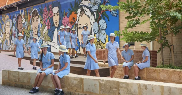
An iconic Bibbulmun Track trail run in the Perth Hills delivering a brutal, authentic ultra experience with legendary terrain and community.
VERPFLEGUNG / STRECKEN- UND ZIELVERPFLEGUNG: Details in the Race Manual.
PACERS & BUDDY RUNNERS: Permitted for 100 Milers only — see the Race Manual for start wave target times, pacer rules and gear requirements.
Monatsdurchschnitte aus historischen Daten (2000–heute).
Melde dich auf der offiziellen Veranstalter-Website an.
Jetzt anmeldenElevation gain approximately 2,962m (10,000ft); loss approximately 3,055m (10,000ft) overall across ultra distances (profile varies by distance).
Check-in is at the Feral Village (Perth Hills Discovery Centre). Each distance has a specific check-in window — see the Race Manual for times.
Drop bags are permitted for all Ultra-distance runners (100 Miler, 100K, 50 Miler, 50K) at all aid stations. 23K and 5K do not have drop bag service.
Pacers and buddy runners are permitted for 100 Miler only. See the Race Manual for pacer rules, start waves and gear requirements.
The event will follow current State and Federal health guidelines at race time. Updates will be posted on the website and via email.
Interactive Caltopo maps and GPX files are available on each distance page and via the links below — download and load to your Gaia Maps device (mandatory during event).
Zuletzt aktualisiert: Jun 6, 2026, 12:06:07 AM
Wir mailen dir, wenn Läufe zu deinen Filtern passen. Kein Spam — nur passende Rennen.
Auf die Plätze
Racedetails werden geladen…